#35 Hagerman Peak – 13,841 ft.
Date: June 6, 2013
Route: South Face
Team: Dav, Neal Beidleman
I’ve been looking forward to this ski descent for a long time. Hagerman is one of the big, hidden gems of the Elk Range. Well, it’s not really hidden, its just remote and overshadowed by its big brother, Snowmass Mountain, the 14er, just a half a mile away. But I remember staring up at Hagerman’s steep south and West faces back in the late winter of 2006 when I went to ski the West Face of Snowmass, and that vision stuck with me. My Centennial 13ers ski partners Ted and Christy skied Hagerman back in 2008- and their blog is also up on the site, so check that out also.
The approach to Hagerman is long, no matter which way you go. Ted and Christy had done an early spring season overnight mission up Snowmass Creek and camped at Snowmass Lake. since we were quite a bit later, Neal Beidleman and I chose to drive in past the gorgeous town of Marble and see how far we could get up county road 315 towards Lead King Basin and Silver Creek. It turns out we couldn’t get very far do to some big snow in the trees, so we parked, car-camped, and got up at 4:30 to begin walking at first light.
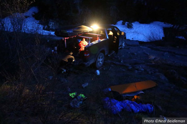
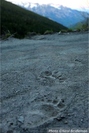
After coffee and some nice rice souffle cakes for breakfast, we hiked up the road and then back down into Lead King Basin and on up to Geneva Lake, one of Colorado’s most beautiful alpine lakes. The setting up here is stunning. You are surrounded by huge mountains, caked in late spring snow. We saw lots of elk on the way in, grazing in the high meadows, as well as some very large bear tracks.
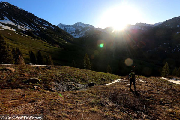
It took us a little longer than we had hoped to make it to the lake, so we hustled the pace in our running shoes on the trail, and then the firm, frozen snow up towards the base of the face at 12,000′ where we switched to skins for just about a mile… That is Hagerman in the distance at center in the first photo below, and getting closer to the face on skins in the second photo…
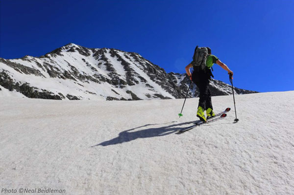
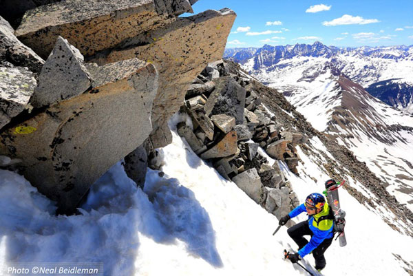
The South Face of Hagerman offers a few options for climbing and skiing routes, and we chose to climb a direct and straightforward gully lookers right of the face. A nice firm bootpack led to the summit ridge. For as long as it took us to approach the face we were happy that we could make fast progress once our crampons were on. The climbing was fairly mellow, maybe just 40 degree, but the views behind us as we climbed were stellar. The massive ridge of Treasure Mountain was totally stacked with snow, and we could see Mt. Crested Butte ski area just over the divide, as well as the Fravert Basin side of the world-famous Maroon Bells 14ers, in the center of the below photo…
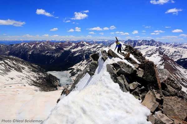
We hit the summit ridge and were greeted with the incredible view down into the Big Bowl of Snowmass Mountain, and the still frozen Snowmass Lake. Every time I top out on a ridge like this I can’t help but let out a huge yelp of joy! It was the perfect day, not to warm and very little wind. Here is a shot of the summit Ridge and a video as we topped out…
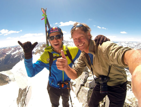
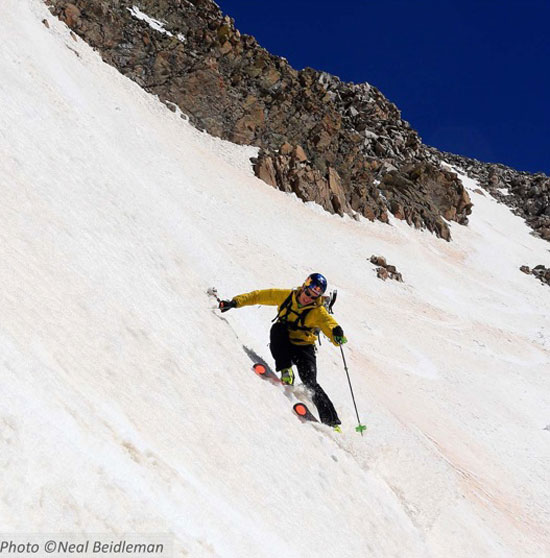
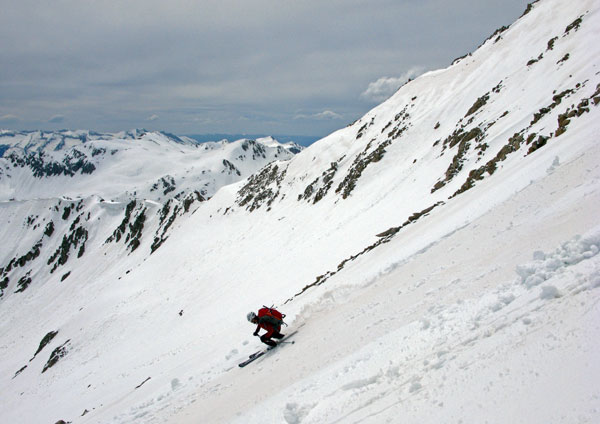
We didn’t spend too much time on top, just enough time to take more shots and sign the summit register. The snow was transforming into perfect corn and we didn’t want to be late on the face. It turned out our timing was perfect and the skiing was incredible. Neal is a seasoned mountain photographer and got some amazing images throughout the day, including these ski shots on the way down…
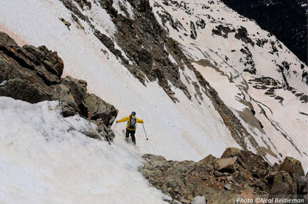
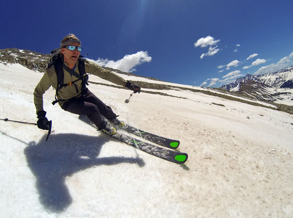
And here is a shot of Neal putting his Kastle TX97’s through the paces. Those are the same boots he skied the Lhotse Face on Mt. Everest in a couple of years back.
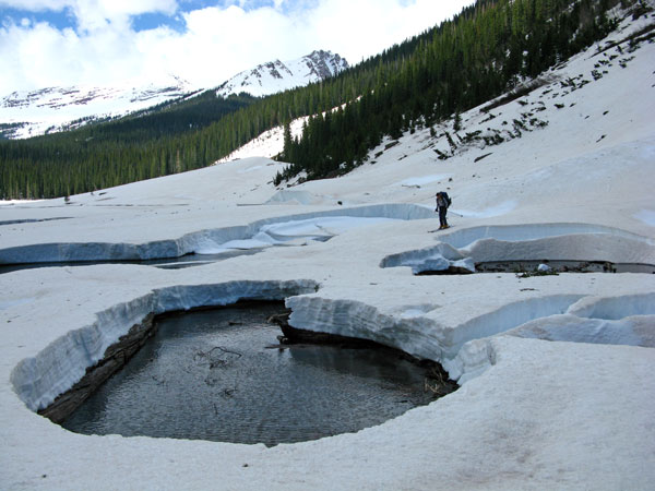
On the way out there are a few good river crossings. I’m always trying to employ my best ski-pole vault techniques- sometimes it works and some times it doesn’t.
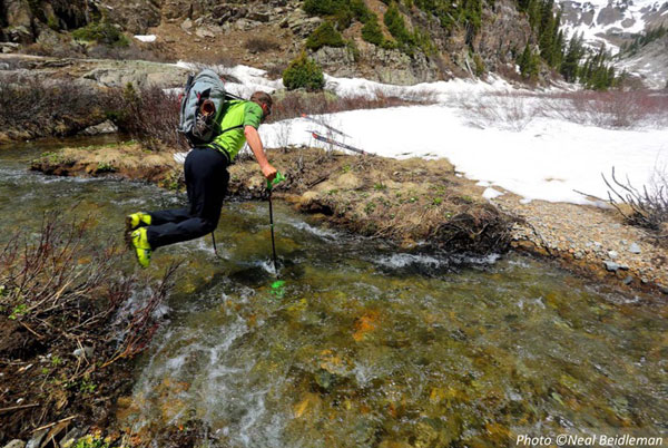
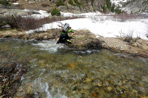
Ah well, sometimes you make it across and sometimes you don’t. Anyway we switched back to our running shoes for the walk out not far after this crossing. After 16 miles and 7000′ feet of vertical climbed we made it back to the truck. It was a long day but exactly what I was hoping for on Hagerman Peak. Thanks to Neal for the great images and for an epic day as always.
Date: May 25, 2008
Team: Christy, Ted, Josh Hirshberg
Route: South Face
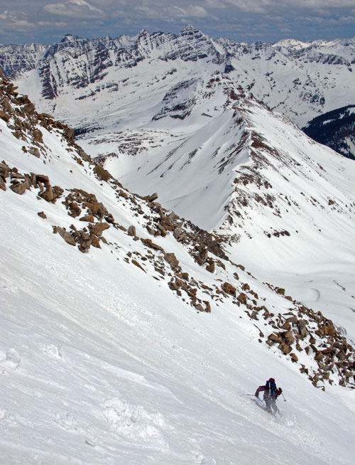
[Christy and Ted skied Hagerman Peak back in 2008. Here’s a report from that day]
We don’t hear much about Hagerman. Even being one of the tallest (top-ten) local peaks in the Aspen area, it seems to garner little attention. Christy and I has climbed it by it’s south facing summer route some years earlier, and were curious how that side of the mountain would ski.
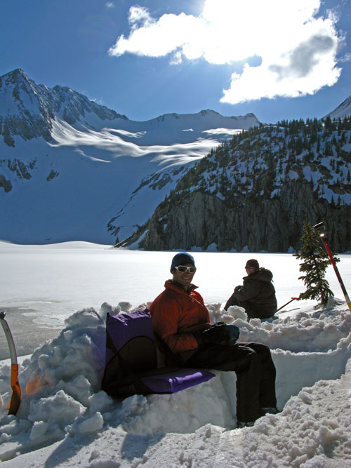
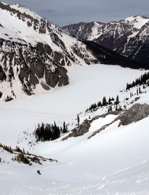
Along with Josh Hirshberg, we made our way up to Snowmass Lake. We had already skied Snowmass Mountain by the West Face two years earlier, but since we were having such a landmark spring insofar as snowfall went, we decided it would be a fun weekend trip to camp and ski the giant East Bowl (Snowmass report here). And if weather and conditions allowed, we would then climb the couloir between Hagerman and Snowmass Peak to Hagerman’s summit, and ski down the south side.
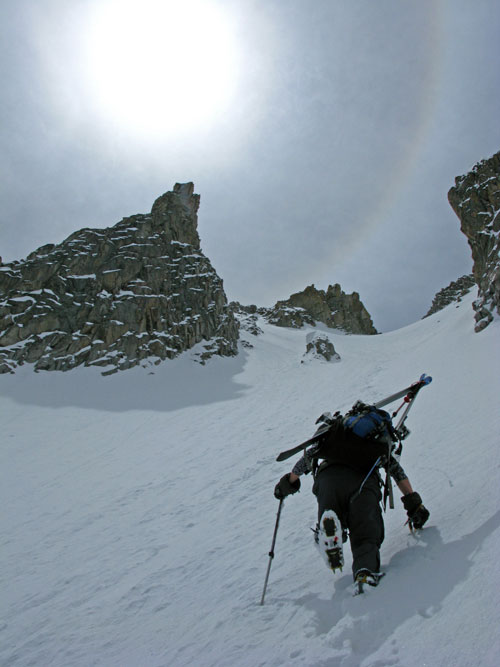
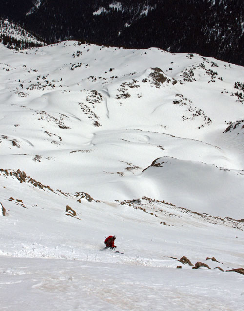
It all went according to plan, the one surprise being how steep the route was above the top of the couloir. We had to climb and traverse fluted snow ribs mixed with very loose rock for a good amount of vertical to Hagerman’s summit. It was pretty spicy. Still to this day Christy feels Hagerman was the most serious climbing of any Elk Range summit she’s done. That said, once it was behind us and we got to the summit, the skiing on the South Face was quite easy.
For beta, it may be better to either:
1. Go from Snowmass Lake over Trail Rider Pass to the base of the South Face and just climb the mellower angle snow, ski, and return to camp the same way.
2. If you climb up the couloir from the East Bowl of Snowmass, consider descending the other side a bit to a point where you can more easily traverse onto the South Face rather than climb up directly as we did.
3. Do and out-and-back up on the South Face route via Lead King Basin.
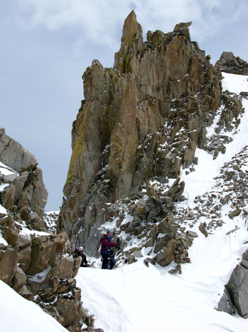
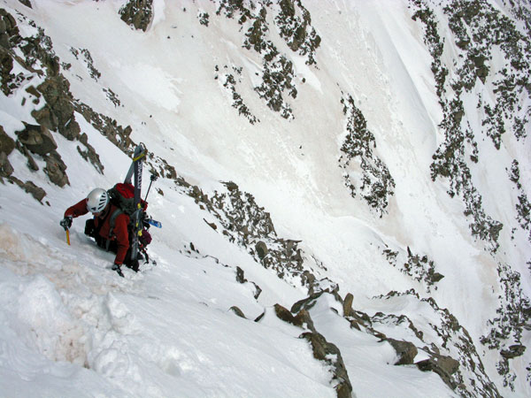
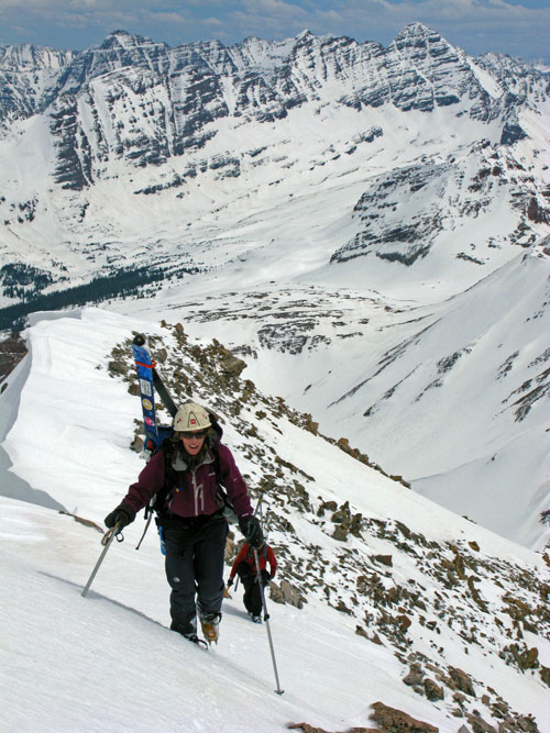
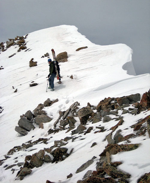
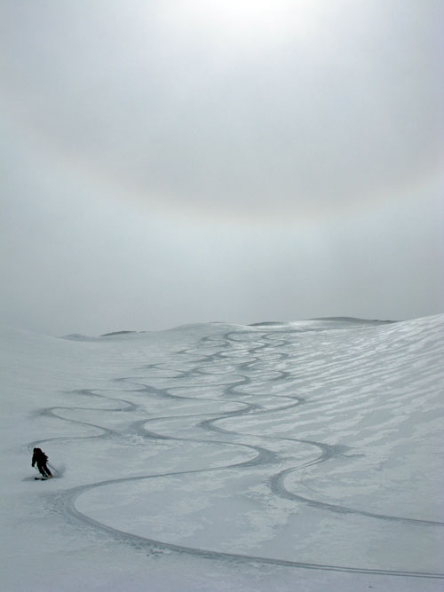
Here are some photos:

Pages
- #1 Grizzly Peak – 13,988 ft.
- #2 Stewart Peak -13,983 ft.
- #3 Columbia Point – 13,980 ft.
- #4 Pigeon Peak – 13,972 ft.
- #5 Mount Ouray – 13,971 ft.
- #6 Ice Mountain – 13,951 ft.
- #7 Fletcher Mountain – 13,951 ft.
- #8 Pacific Peak – 13,950 ft.
- #9 Cathedral Peak – 13,943 ft.
- #10 French Mountain – 13,940 ft.
- #11 Mount Hope – 13,933 ft.
- #12 Thunder Pyramid – 13,932 ft.
- #13 Mount Adams – 13,931 ft.
- #14 Gladstone Peak – 13,913 ft.
- #15 Mount Meeker – 13,911 ft.
- #16 Casco Peak – 13,908 ft.
- #17 Red Mountain – 13,908 ft.
- #18 Emerald Mountain – 13,904 ft.
- #19 Horseshoe Mtn. – 13,898 ft.
- #20 “Phoenix Peak” – 13,895 ft.
- #21 Vermillion Peak – 13,894 ft.
- #22 Cronin Peak – 13,870 ft.
- #23 Mount Buckskin – 13,865 ft.
- #24 Vestal Peak – 13,864 ft.
- #25 Jones Mountain – 13,860 ft.
- #26 North Apostle – 13,860 ft.
- #27 Clinton Peak – 13,857 ft.
- #28 Dyer Mountain – 13,855 ft.
- #29 Crystal Peak – 13,852 ft.
- #30 Mount Edwards – 13,850 ft.
- #31 California Peak – 13,849 ft.
- #32 Mount Oklahoma – 13,845 ft.
- #33 Half Peak – 13,841 ft.
- #34 Atlantic Peak – 13,841 ft.
- #35 Hagerman Peak – 13,841 ft.
- #36 Turret Peak – 13,835 ft.
- #37 PT 13,832
- #38 Holy Cross Ridge – 13,831 ft.
- #39 Jupiter Mountain- 13,830 ft.
- #40 “Huerfano Peak” – 13,828 ft.
- #41 Jagged Mountain – 13,824 ft.
- #42 “Lackawanna” – 13,823 ft.
- #43 Mount SiIverheels – 13,822 ft.
- #44 Rio Grande Pyramid – 13,821 ft.
- #45 Teakettle Mountain – 13,819 ft.
- #46 PT 13,811 – 13,811 ft.
- #47 Dallas Peak – 13,809 ft.
